Geo+Python: A Shallow Dive into GIS Development
Enock Seth Nyamador @enock4seth
Open Source evangelist
CC-BY-SA 4.0
!
What?
- GIS Basics
- OSGeo, QGIS, PyQGIS
- OpenStreetMap, etc
- Py projects; GeoNode, etc

GIS
- Geographic Information Systems
- hardware, software and data capturing, managing, analysing and displaying spatial data
- use methods for understanding, interpreting, and visualising relationships and patterns of geospatial data
Data Types
Vector
GeoPackage (gpkg), GeoJSON, PostGIS
- SHPs

Raster
Geotiffs, DEM, Orthophotos, etc
Cordinate Reference System
Data Sources
OpenStreetMap
Features (POIs) in OpenStreetMap
- Attributes are key-value pairs
- Map Features
<?xml version="1.0" encoding="UTF-8"?>
<osm version="0.6" generator="CGImap 0.7.5 (21114 thorn-02.openstreetmap.org)" copyright="OpenStreetMap and contributors" attribution="http://www.openstreetmap.org/copyright" license="http://opendatacommons.org/licenses/odbl/1-0/">
 <way id="308668766" visible="true" version="14" changeset="72300285" timestamp="2019-07-16T11:27:32Z" user="Michael008" uid="7666560">
  ........
  <tag k="addr:city" v="Accra"/>
  <tag k="amenity" v="university"/>
  <tag k="contact:twitter" v="https://twitter.com/UnivofGhana"/>
  <tag k="contact:website" v="http://ug.edu.gh/"/>
  <tag k="description" v="University of Ghana is the first and largest universitiy and tertiary institution in Ghana."/>
  <tag k="name" v="University of Ghana"/>
  <tag k="opening_hours" v="24/7"/>
  <tag k="operator:type" v="public"/>
  <tag k="project:oif-dfen_carteinnov" v="yes"/>
  <tag k="short_name" v="UG, Legon"/>
  <tag k="source" v="local_knowledge;oif-dfen_carteinnov"/>
  <tag k="source:geometry" v="Bing"/>
  <tag k="start_date" v="1948"/>
  <tag k="wikidata" v="Q2303765"/>
  <tag k="wikipedia" v="en:University of Ghana"/>
 </way>
</osm>
Overpass API
- overpass-turbo.eu/
In [26]:
import requests

overpass_url = "http://overpass-api.de/api/interpreter"
overpass_query = """
    [out:json];
    area["ISO3166-1"="GH"][admin_level=2];
    (
    node["amenity"="school"](area);
    );
    out count;"""
response = requests.get(overpass_url, params={'data': overpass_query})
response.json()
Out[26]:
In [27]:
import osmnx as ox
import matplotlib.pyplot as plt
%matplotlib inline

# Specify the name that is used to seach for the data
place_name = "University of Ghana, Accra, Ghana"

# Fetch OSM street network from the location
graph = ox.graph_from_place(place_name)
type(graph)

# Plot the streets
fig, ax = ox.plot_graph(graph)

OSM in Africa
TL;DR
- OSM [Togo, Benin, Côte d'Ivoire , Burkina Faso, Mali, Guinea, Uganda, etc]
- Open Cities Accra - OpenDRI
- Map Kibera
- Ramani Huria - HOTOSM
- Ebola Response
- 2019.stateofthemap.africa | 22-24 November 2019 | Grand-Bassam, Côte d'Ivoire
Ghana
- Open Cities Accra
- AccraMobile3
- Larabanga Mapping Initiative
- OpenStreetMap Ghana
- Data Reuse: trotro.app
- github.com/trufi-association/trufi-app | GPL 3.0
- github.com/grote/osm2gtfs | GPL 3.0

GIS Applications

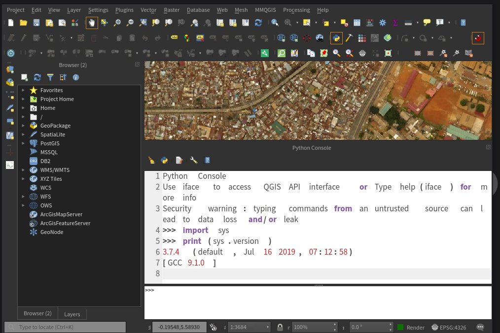
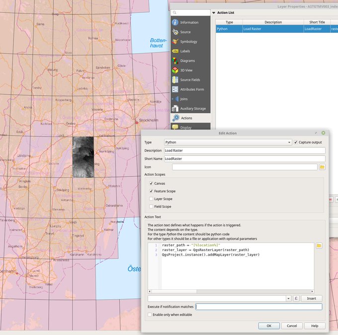
QGIS
- the user friendly Open Source Geographic Information System
- qgis.org
- Python plugins
Tweet by @klaskarlsson
GeoNode
- A web-based application and platform for developing geospatial information systems (GIS) and for deploying spatial data infrastructures (SDI).
- Django
- http://geonode.org/

Contributors
- World Bank
- GeoSoulutions
- Terranodo
- Boundless
- .......
Community of Practice
- *cons, Wikimania, PyCon, SOTM, FOSS4G, etc...
- Linux User Groups - Linux Accra, etc
Geo+Python: A Shallow Dive into GIS Development
Enock Seth Nyamador @enock4seth
- open [at] enockseth [dot] co
- open.enockseth.co
- Slides @ open.enockseth.co/slides/geo+python/