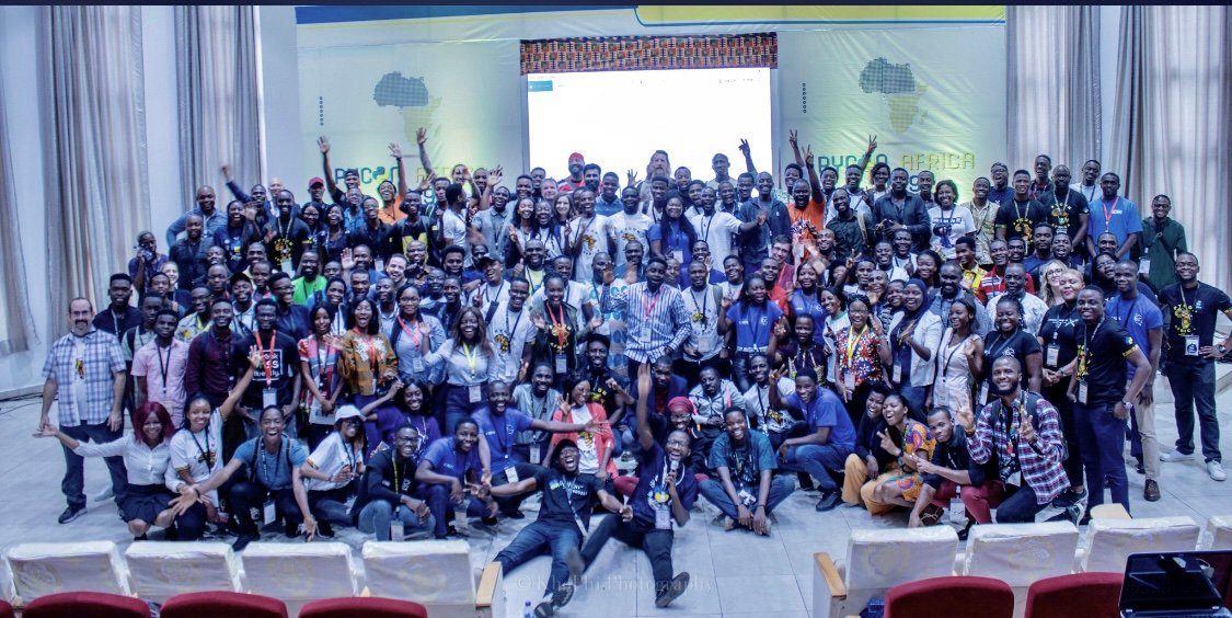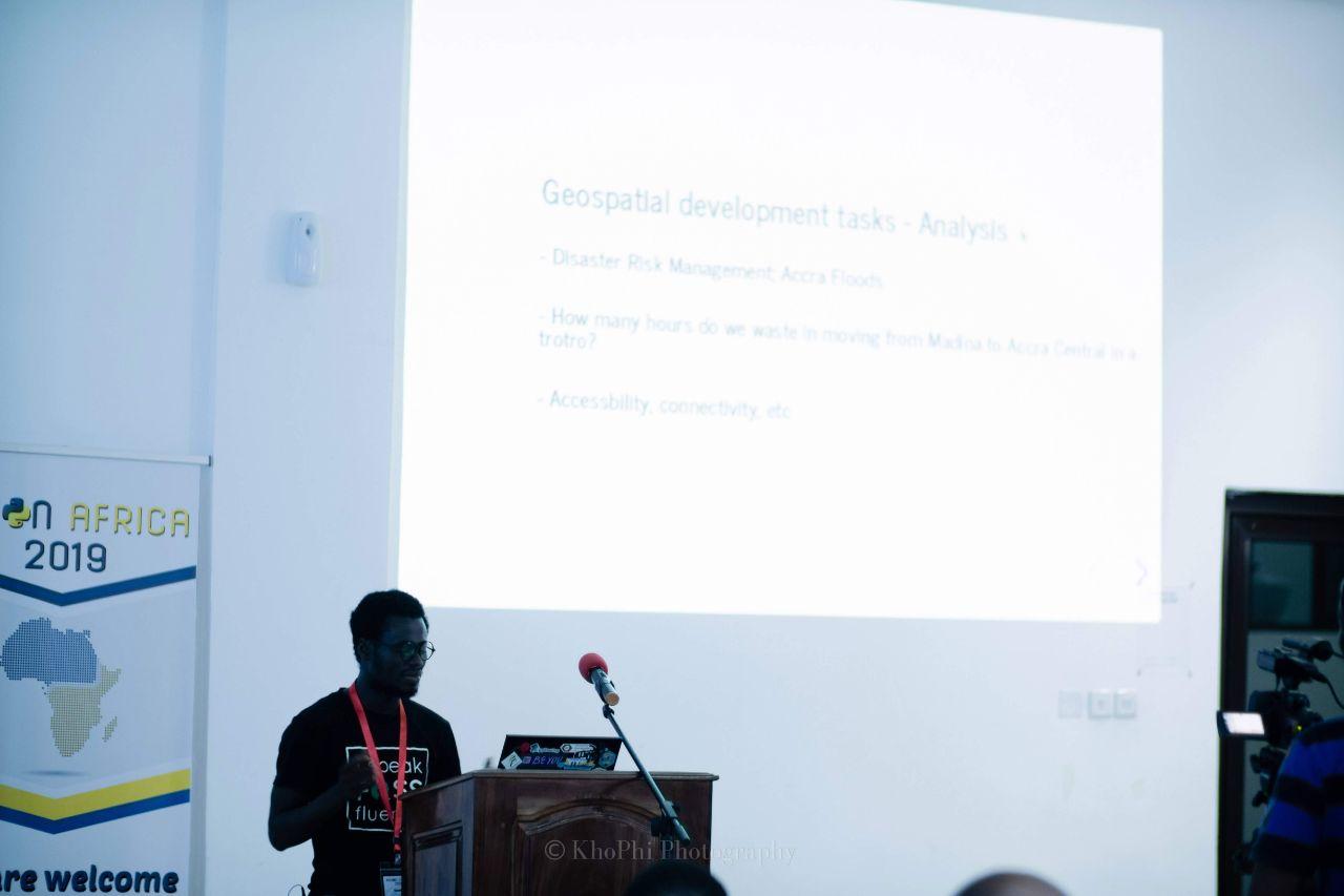
First edition of Pycon Africa took place in Accra in August 2019.

I had the opportunity to talk about Python and GIS Development with my talk titled “Geo+Python: A Shallow Dive into GIS Development”. This basically a quick introduction to GIS for Python developers and also highlighting Open Source Geospatial tools and packages that can be used by PyDevs in their projects.
The presention consisted mostly:
- Introduction to GIS; Data types, projections, etc
- OSGeo: QGIS, GDAL, GeoNode, etc
- OpenStreetMap; the free and colloborative map of the world
- Some geospatial libraries
Find my slides here