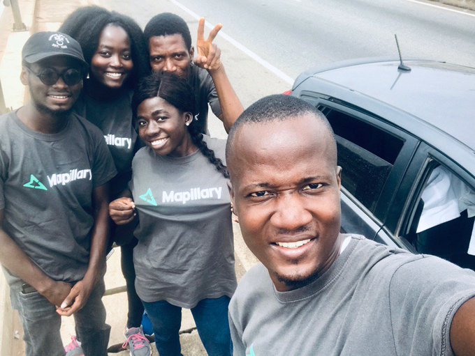
In June 2019, five of us; Mawtor, Joe, Enock, Angela and Yvonne travelled across Ghana, in all to:
- capture street-level images and make them accessible to all - we got featured by Mapillary
- collect POIs into OpenStreetMap
- lead capacity building in Larabanga - detailed post for another day
- see other parts of Ghana
- document the state of the famous Eastern Corridor Road
- have fun!
This twitter thread will tell you all:
Mappy trip from #Accra - #Laranbanga then back to Accra through Eastern Corridor road capturing street-level images @mapillary + @openstreetmap & #FOSS love.
— Enock Seth Nyamador (@Enock4seth) June 7, 2019
3 👬 @stevdok @amuzugabrieljoe
2 👭 @yaa2darko @teyvi_angela
1 Garmin Virb X 📷
1 🚗#map2020 #OpenData #OpenCitiesAffica pic.twitter.com/MafBTlunAj
We spent one week on the road. Most of the driving was done by Mawutor our Chief driver. We captured in all over 300 GB of street level images with Garmin Virb X camera. All have been uploaded to Mapillary under our various usernames; all are freely accessible. If you need the raw images talk to us, we won’t charge you much :).
300+ GB of street-level imagery! Great job 💪@stevdok and team ✌. @mapillary unloading... #Ghana #opendata #openstreetmap #TravelGhana
— Enock Seth Nyamador (@Enock4seth) June 24, 2019